news
Decades of Growth Decisions Shape Albuquerque's Traffic Patterns Today
City road networks reflect choices made during earlier periods of expansion that favored vehicle access over other forms of movement.
How we reported this
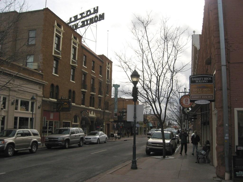
Albuquerque commuters encounter daily delays that developed from infrastructure priorities set years earlier during periods of outward expansion.
Those priorities shaped how neighborhoods connect to employment areas and services, and they continue to influence travel times across the metro area.
Postwar Expansion Set Car Dependence
After World War II, new housing areas spread across open land while highway links received major funding. This pattern matched national policies that supported road construction to serve growing populations outside older districts. The result was a layout where most trips required a vehicle, with limited early investment in routes that could serve denser clusters of homes and workplaces. Over successive decades, additional residential projects followed the same model, reinforcing the need for wider roads rather than alternatives that might reduce overall vehicle counts.
City planners at the time focused on moving automobiles efficiently between distant points. That focus produced corridors designed for high speeds and long distances, which later struggled when population increased and more households owned multiple cars. The same corridors now carry the bulk of morning and evening movement, a direct outcome of how land was divided and connected during those earlier growth phases.
Subsequent Efforts to Manage Flow
Later projects added capacity on existing routes and improved some intersections, yet these steps largely extended the original car-first system. Discussions about bus service expansions or dedicated lanes for other modes appeared at intervals, but funding and right-of-way decisions often defaulted to widening pavement for private vehicles. The cumulative effect left a network that handles volume through added lanes instead of through changes in how people travel or where development occurs.
Population growth in outlying sections has continued this cycle, placing more vehicles onto the same foundational corridors. Without shifts in housing density or job locations, the same pressure points reappear during peak periods. Local agencies maintain records of these patterns through traffic counts and planning studies that document the long-term results of earlier land-use rules.
Residents seeking to adjust their own routines can review current city planning documents and route information posted by transportation offices to identify options that fit daily needs.